


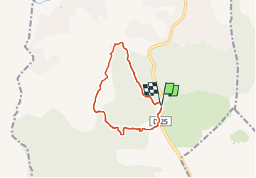

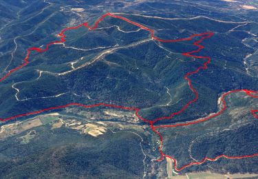
15,4 km | 22 km-effort


Utilisateur


Application GPS de randonnée GRATUITE
 SityTrail
IGN / Instituts géographiques
SityTrail World
Le monde est à vous
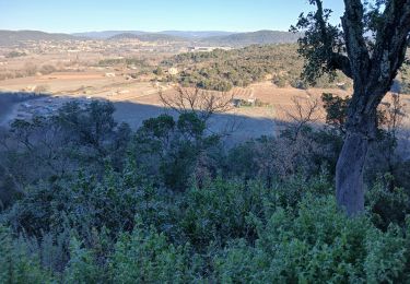
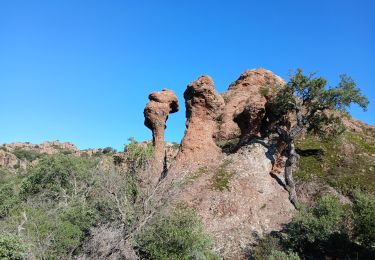
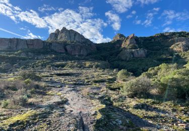
Randonnée Marche de 5,7 km à découvrir à Provence-Alpes-Côte d'Azur, Var, Le Muy. Cette randonnée est proposée par Christianlabourie.
Belle rando. Possible de la rallonger en faisant le tour de Gabon.
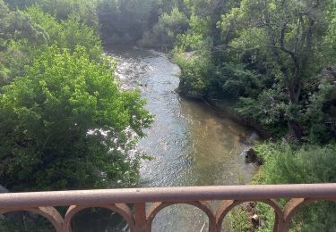
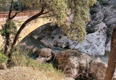
Il y a 2 passage à guet qui peuvent être humide en période pluvieuse.
Marche

Marche
Marche
Marche
Marche

Marche
Marche
Marche
Marche